Aerial 360° · Captured 13 Oct 2026

See Hyven from the sky, in every direction

Drag to look around. Tap the orange markers to see the site, the lake view, the highway frontage and the neighbourhood around DSR Hyven.

Drag to look around · Scroll to zoom
Drone film

The site, from overhead to tiny planet

A 13-second flight over the active site, ending in a full-sphere "tiny planet" turn that shows Hyven inside its whole setting.
Site photographs

Work in progress on the ground

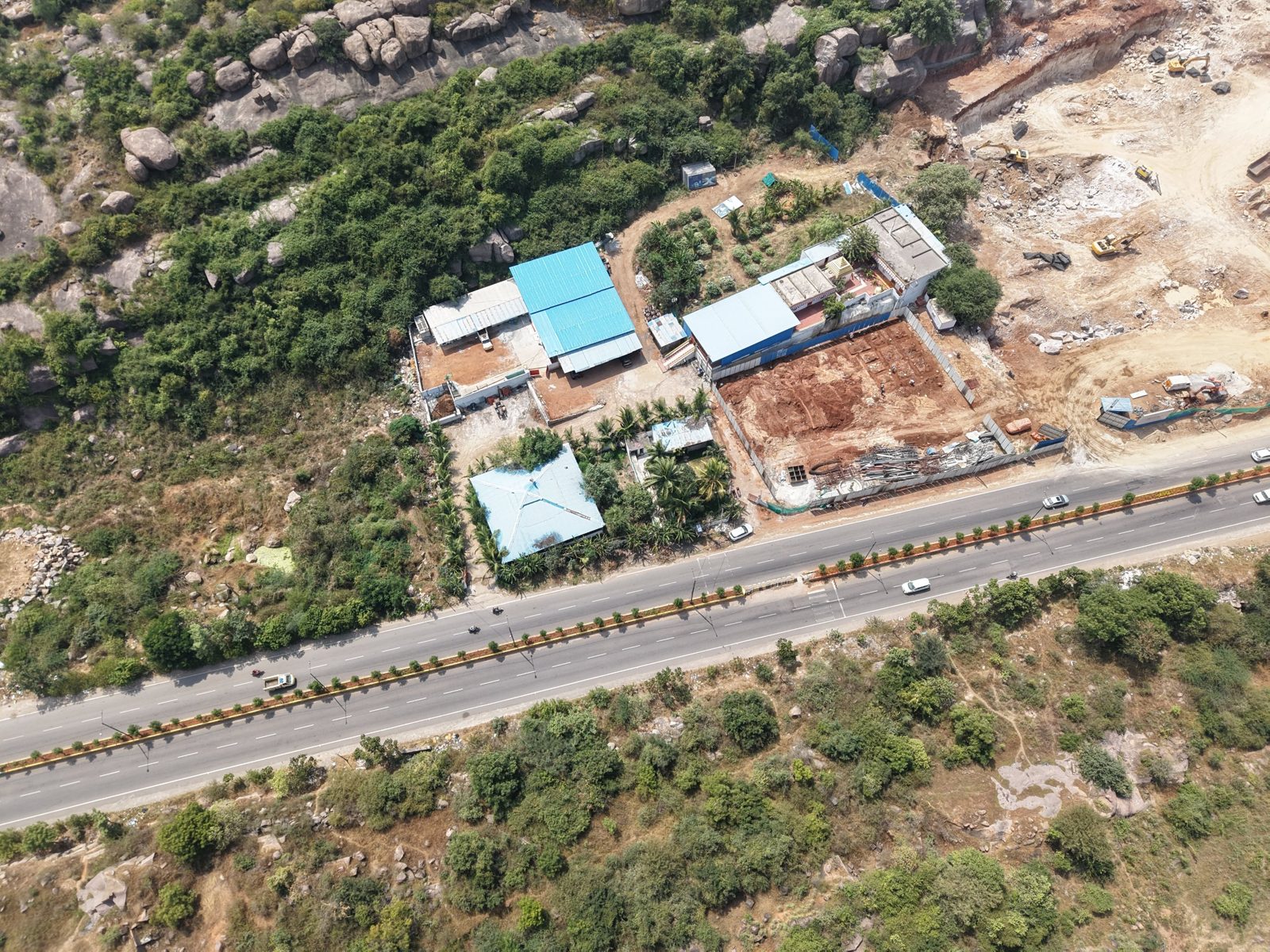
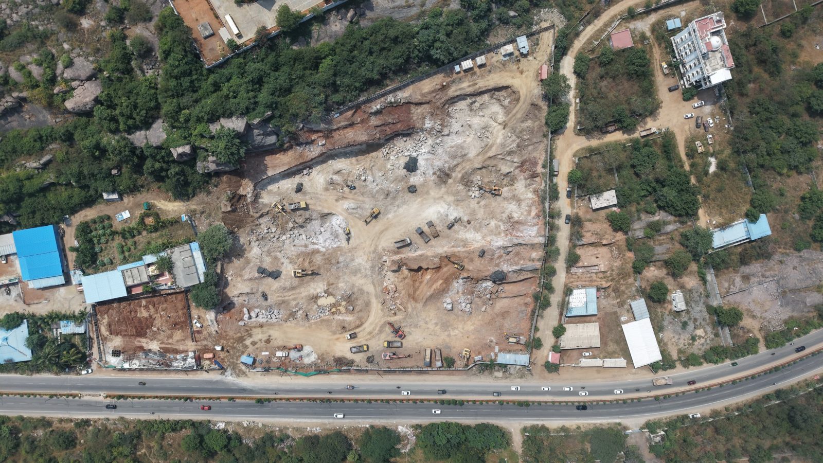
Top-down view of the excavated Hyven site beside the highway
Straight down over the site
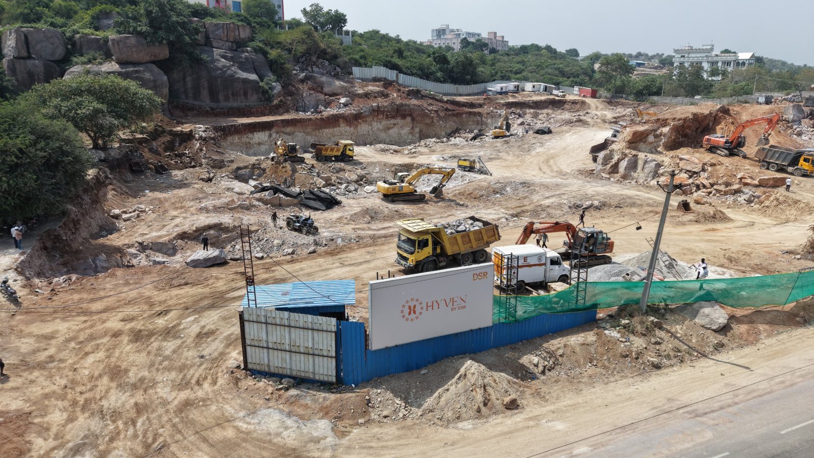
HYVEN by DSR site hoarding with excavation behind
Site entrance and hoarding
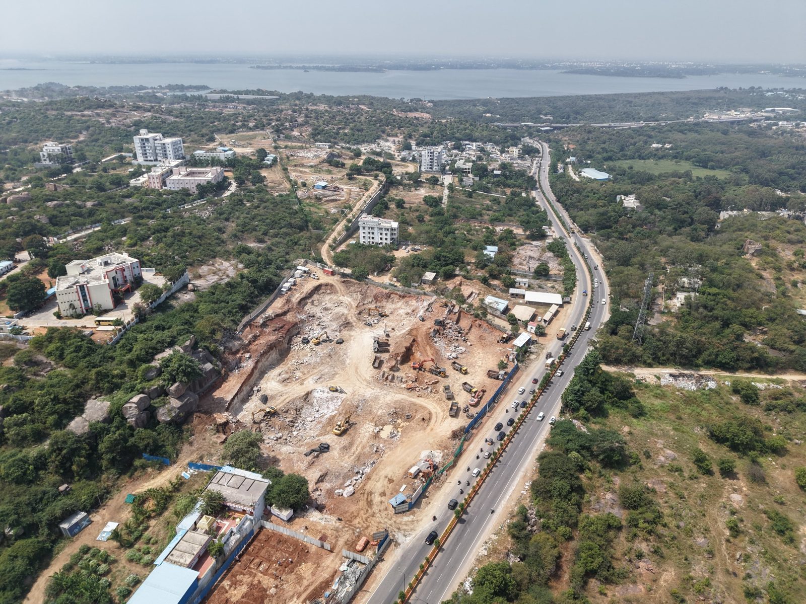
Aerial view of the site with the lake on the horizon
Site with the lake beyond
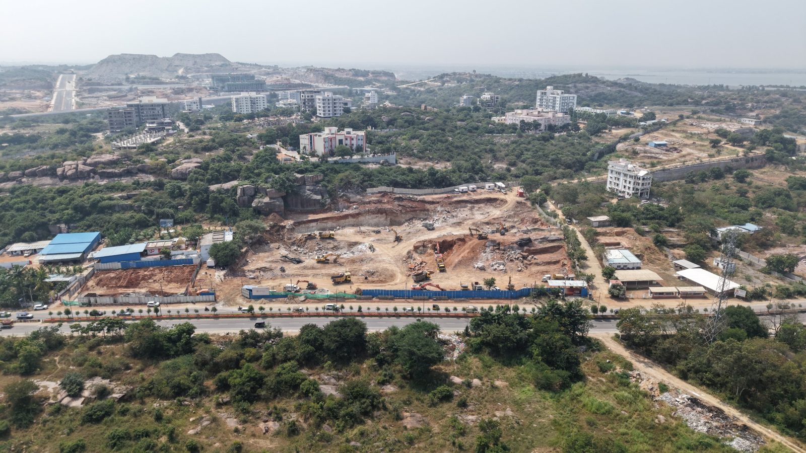
Wide aerial of the site's road frontage
Road frontage
Aerial of the neighbourhood and boulder hill next to the site
Neighbourhood and boulder hill
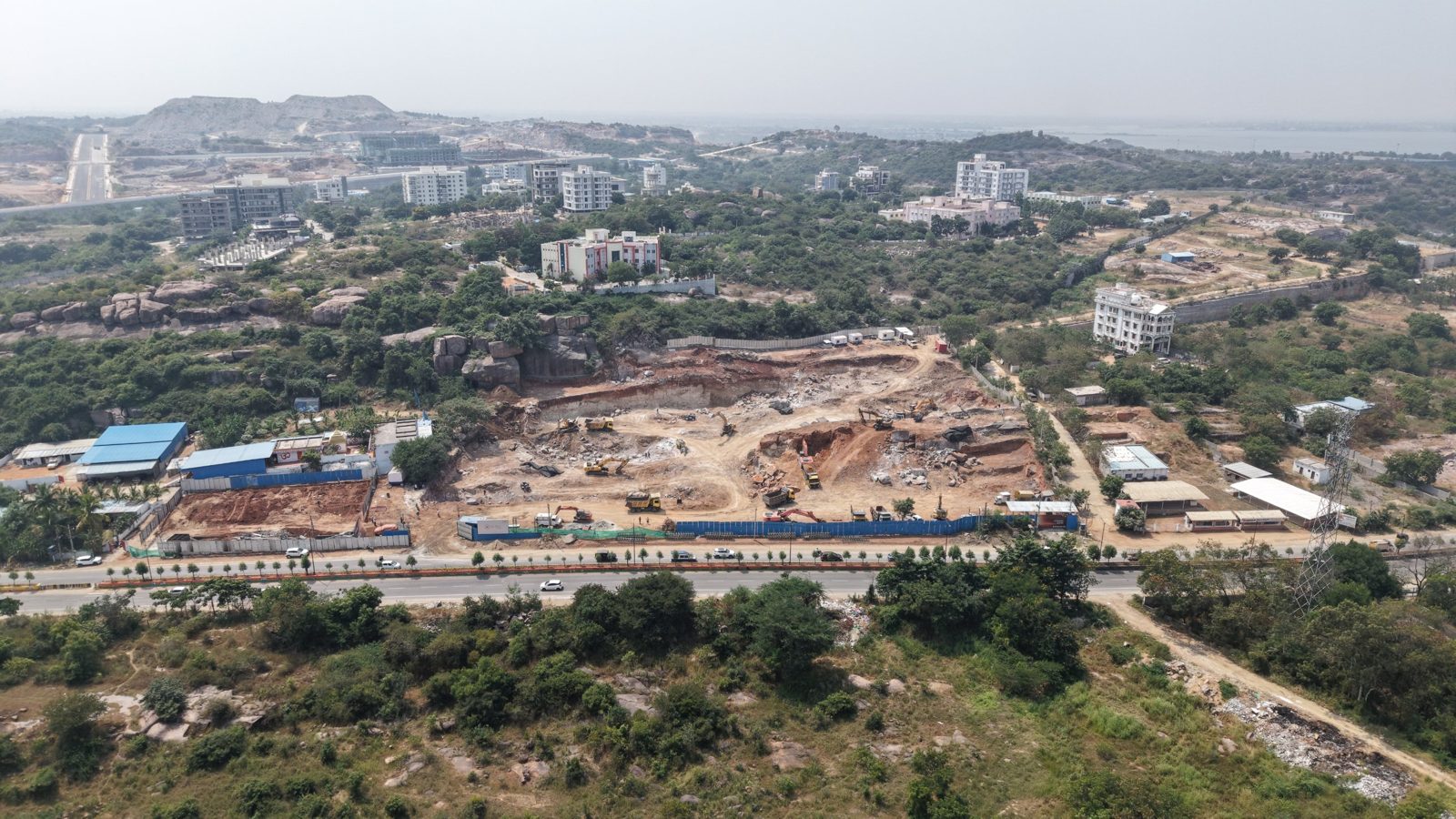
Second wide aerial of the frontage and surrounding hills
Surrounding hills and towers
Site location
17.3234° N
78.3851° E
Captured
13 Oct 2026
Overhead height
252 m AGL
360° source
33 frames, stitched
Site visit

Book a site visit